
|
|
| Click to enlarge |

|

|
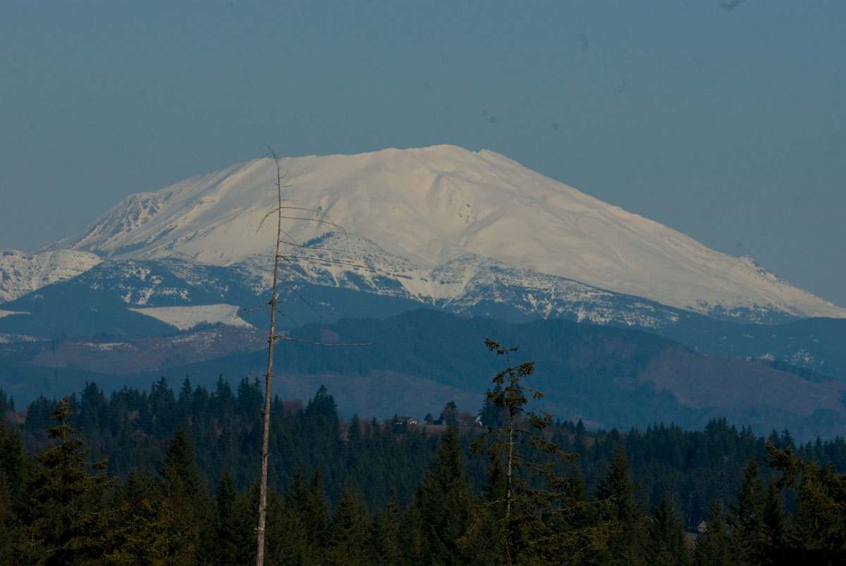
| Mount Saint Helens | June 1980 |
After the initial explosion of Mt. St. Helens in May of 1980, there were several events that followed. This previously unpublished photo was taken by Robert P. VanNatta of a secondary eruption some days after the "big one". It was taken from the VanNatta Tree Farm in Central Columbia County, Oregon looking northeast with a telephoto lens.
|
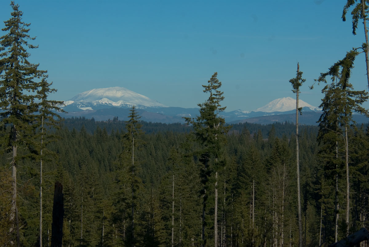
| Mt. St. Helens Today |
|
| Mt.St.Helens & Mt.Adams |
|
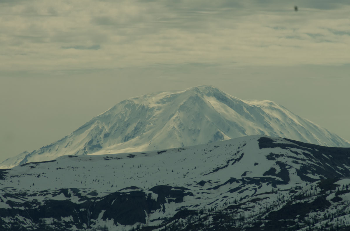
| In 2011, I caught Mt. Adams shining over a nearby ridge in sort of a dramatic fashion. This is Mt. Adams as seen from Mt. St. Helens access area. |
The USGS/Cascades Volcano Observatory includes much official information about Mt. St. Helens and other Cascades volcanos. This writer lived about 50 miles south of Mt. St. Helens but in a location where under appropriate visibility conditions she dominated the northern skyline. Before its eruption Mt. St. Helens was a very beautiful mountain of an almost perfect conical shape with a rounded top. It was often compared to Mt. Fuji for its beauty and poise. I have applied the 'she' reference in referring to her because that is consistent with the Indian legends of the area who characterized Mt. St. Helens as a beautiful but temperamental woman. Mt. St. Helens has been one of the most active volcanos in the Pacific Northwest, but apparently often burped in conjunction with some of the other volcanos in the area which include Mt. Hood, and Mt. Adams. Before the 1980 event, Mt. St Helens has last been active between 1800 and 1857 when she erupted a number of times and likely provided the factual basis for the legends.
|
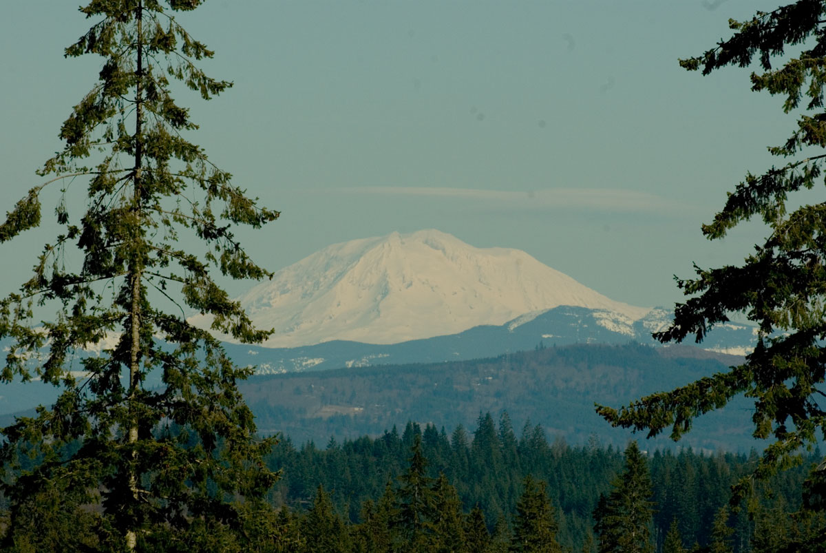
| Mount Adams |
|
| Mount Rainier |
Mt. St. Helens was easily climbed before her eruption by 'walk up' parties because of its relatively gentle slopes. But alas, the steam explosion of 1980 blew away around a cubic mile of this beautiful lady and left a crater of enormous proportions, and she is photogenic no more.
For a current view of the mountain see Volcano Cam
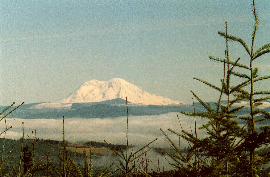
Many of the photos shown on this page are taken from the From Northwest Oregon. The 'two icecream cone' view is one that is not readily visible from Washington State, and many in the greater Seattle area which is much closer to Mt. Rainier to not realize that Mt. Rainier is a twin peak mountain, or perhaps more accurately a much larger mountain with the center blown out of it. All three of the lower photos on this page were taken from the same vantage point in Columbia County Oregon with very strong telephoto camera equipment.
I visited Mt. St. Helens in August of 2000 and again in June of 2011 and for that report follow this link