
|
|
| Manning Bible Church |
|
|
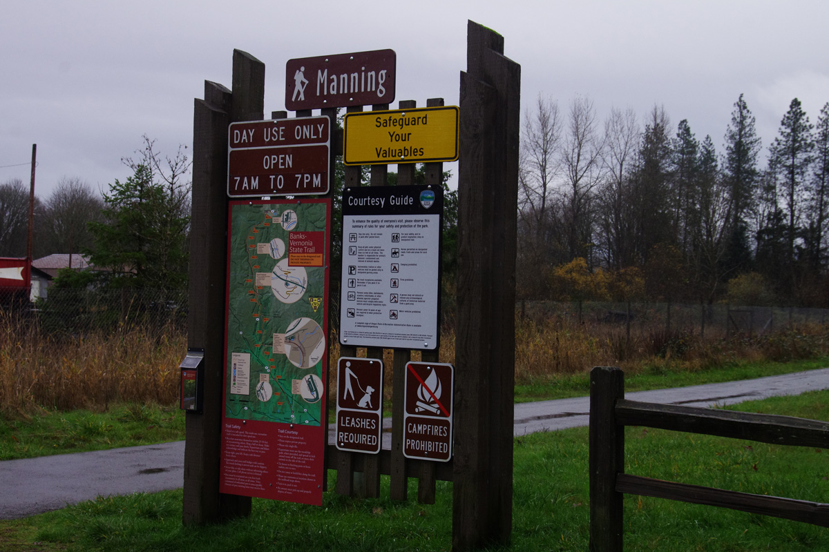
| Manning Trailhead |
Manning was named for a local landholder, Martin Manning. Today the name is generally applied to an informal community generally extending east along U.S Highway 26 east of Staley's Junction, the latter being the site name for the intersection where Highway 47 branches north from Highway 26 toward Vernonia. The part of U.S. Highway 26 mentioned here is the one that extends east from Seaside, Oregon to Portland, Oregon which is also dubbed the Sunset Highway in honor of the Sunset Division (41st) of the Oregon National Guard which served most honorably in the Pacific theater during the Second World War. The Sunset Highway was built as the "Wolf Creek Highway" in recognition of the fact that a significant portion of its course follows Wolf Creek. The Highway, itself, was not without military importance, as it provided an inland route to the northern Oregon coast which would not be interrupted in the event of an naval invasion of the Columbia River Estuary. The classic route to the coast was U.S. Highway 30 which is built along the south bank of the Columbia River, but because of its location it was hopelessly vulnerable to naval interference.
The older (pre US 26) roads were on the north side of the railroad tracks. US 26 (Sunset Highway) was built south of the tracks and there are a several miles of tourist related businesses along US 26 that have accumulated in the last 70 years. Historically there were parallel tracks from Banks to Manning. The SP & S tracks went to Vernonia and have been converted to the Bank-Vernonia trail on a rails to trails program. The other track, built by Southen Pacific and most recently operated by the Port of Tillamook was washed out in the 2007 flood west of Cochran and has been unused since that time.
See also Banks